
1 Presentation
Projection Mapping in Ottawa tends to take the form of large-scale events and celebrations. It’s commonly employed by the Department of Canadian Heritage (light show) and City of Ottawa (Kontinuum), but has been used for a range of promotional activity.
 (Ottawa Tourism)
Because it is minimally intrusive and has a degree of “wow factor,” it has become a niche industry in Canada. Commercial applications range from ads to events, as one promotional video details:
However, small-scale mapping is also used in Ottawa. At the Ottawa Art Gallery, DJ Bear Witness recently projected his artwork, “Of Buffalo, Bears, and Indian Scouts,” on the building’s “cube” facade. Another light-based installation, “Ascension,” was also mounted on the outdoor platform.
Projection Mapping in Montreal
Montreal hosted its first mapping festival in 2016, showcasing a wide range of projection mapping/video mapping projects. The Montreal exhibitions were described at the time as the largest such installation in the world. 80 projectors were used to create the spectacle, and a free app downloaded to visitors’ phones triggered the visions to come to life.
Video projection in Montreal (CBC)
#Mapping from Below: Meet the Ruins There is a healthy appetite for urban (and rural!) exploration in Ottawa. Capital Gems is perhaps one of the best-known sites catering to the area, and does a good job documenting some of the stories out there to explore. The National Capital Region has a rich history with many reminders, including shipwrecks, sawmills, settler cabins, Indigenous gathering places, convents, and more.
Some examples of popular sites include:
 The Carbide Wilson Ruins, located in Gatineau Park
 The Descnenes Hydro Ruins, Located just downstream from Aylmer
There are also several hidden ruins in the downtown core and satellite communities that have garnered attention. Here’s one in Carlsbad Springs, a rural hamlet about 20 minutes from Carleton.
 This dilapidated home is the last remnant of the grand Boyd hotel in Carlsbad Springs. The hotel boom put Carlsbad on the map in the 1870s and kept things busy right through ‘till the 1930s, when the decline began.
 My how time flies. Postcard. LAC Topley collection.
 NCC image.
 Too spooky. The site is now gone, demolished for a new home.
Mapping the Downtown Ruins
In Ottawa, projection mapping may be used in a number of key areas to show transformations stemming from government planning policy. Obvious examples include the razing of Lebreton Flats and other urban renewal initiatives undertaken in the 1960s an 1970s. However, it may also be used to show the gentrification of neighbourhoods like the Glebe, or the gradual evolution of specific resident experiences (dining, theatres, etc. along busy commercial streets).
In the Byward Market, projection mapping shows the demolition of old buildings to create condos, restaurants, and courtyards. It can also be used to show the gradual disappearance of the farmer’s market, which has incurred heavy losses since the 1950s and is now a shadow of its former self.
By the entrance to the Rideau Canal, projection mapping can be paired with existing stone ruins to highlight the remnants of the past that remain to be explored today. There are two large stone foundations in the vicinity of the Bytown Museum that could be examined, one of which is placed directly next to a large, relatively blank stone wall that would bear the image beautifully. Just above it, Lady Grey drive curves gently toward Gatineau, devoid of the trains and streetcars it once held.
 Musket firing by the empty stone wall. Photo from @GeraldDoutre on Twitter.
A five minute walk from here, located conveniently on the Ottawa River pathway, the ruins of an old sawmill beg to be explored. Capital Gems, an urban exploration collective, has documented the ruins well.
While empty, the locks themselves may be projected upon to show the harsh labour required for their construction. Labourers can heave and haul in the cold, muddy basins, showing visitors precisely what went into the canal they skate upon today.

The road ahead
Despite these successes, projection mapping is also beset by a number of challenges:
- Environmental barriers: necessary darkness (light pollution?), weather, accessibility of site
- Financial barriers: Start-up capital necessary to purchase equipment, but this is scalable depending on the project.
- Technological literacy: Requires some technical background to create projections, restricting user adoption
- Reliance on spectacle:focus on passive consumption, rather than action
- Projections may obscure the physical history upon which they are projected, symbolically overriding local narratives
- One-way communication: little opportunity to speak back to, customize, or comment directly upon the piece
Each of these critiques may be mitigated creatively, and the list is by no means a damnation of mapping itself. Indeed, there are many positive elements to the technology as well:
- Projections are easily accessed and require little promotion, provided they are placed in high-traffic areas
- Set-up and disassembly are relatively straightforward on small projectors, a trait which aligns well with protesters and those seeking to promote counter-narratives
- Multidimensional experience: images and sounds blend with physical environment, architecture, etc.
- Projections function as art and exist somewhat physically in the landscape, creating an aesthetically-minded, tangible experience
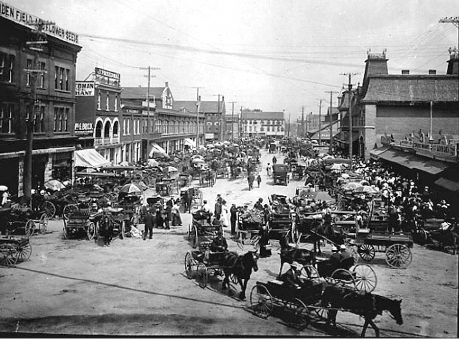 Byward Market, 1918. LAC.
Review: Selection of Sites and Ruins
Ruins:
- Parliament hill saw mill ruins
- Bytown museum stone ruins
- Lover’s walk ruins
- No.2 Hydro Generating station -Preserved Ruin- (Mill Street Pub)
- E.B. Eddy Ruins???
Sites:
- Union Station (cheating because it’s already been done?)
- Byward Market Building Evolution
- Byward Market -Farmers Market
- Glebe Gentrification
- Rideau Centre before and after
- Rideau Canal Locks
- Elgin Street by the NAC
One final alternate Idea
 Ottawa Journal, 1910
- Targeted advertisements from the Ottawa Journal, Ottawa Business Directory, etc. projected on the former properties (NCC owned?)
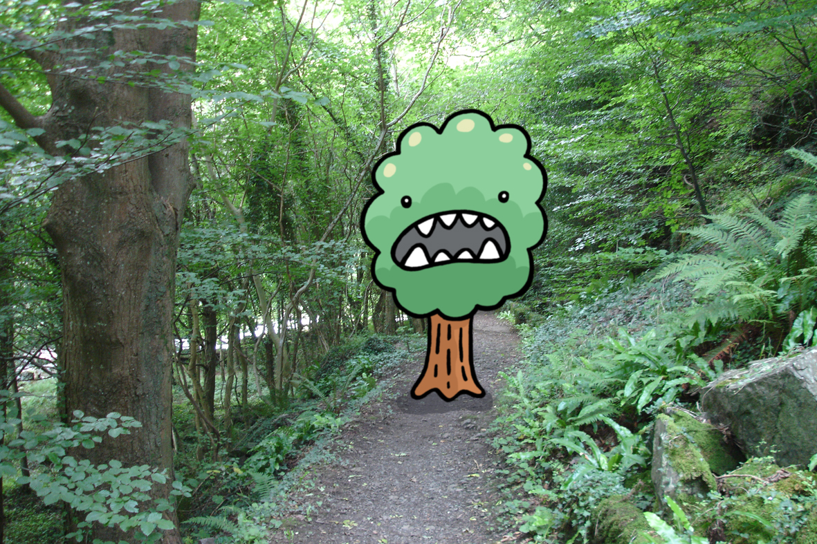
And the Trees
I would really, really like to do the trees. Ottawa is under attack –the trees are revolting! But only some of them are affected? What connects these strange occurrences, and who is behind them? Follow the clues to uncover the truth, chopping some kindling along the way. Eventually your sleuthing will lead you to the Greber Plan, a government conspiracy that led to the planting of trees on contaminated sites. Could these toxins be causing the trees to revolt? But why now? Why here?
Venture on to find out…
The game would take players on a series of encounters aimed at solving the government conspiracy. Along the way, it touches on a series of major decisions that had social and environmental outcomes –for better or for worse.
In your investigation into Greber and his sinister planners, the following topics will be explored:
- Government corruption (for real!)
- Parkway development
- Urban Renewal (razing neighbourhoods)
- Railway relocation
- The Greenbelt
- City beautification
- Narrative construction
And many more, brave adventurer…

Final thoughts on Escape the Trees:
The underlying aims here are three-fold: to learn about the Greber Plan and its many outcomes, to see how past decisions still impact life today, and to form a solid link (albeit a fun one) between the environment and human activity. Players should end the game feeling either dead or grimly satisfied. They should also have an appreciation for the politics of trees.
They’ll never look at city plantings the same.